Logs from Lille Ø
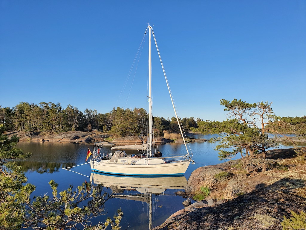
Lille Ø is our cruising sailboat, a 1979 Amigo 40. A Swedish-built boat with a Danish name, a Finnish crew, and sailing under the German flag. Follow our adventures as we explore the coasts of the Baltic Sea and beyond!
-
Saturday, August 29, 2026
-
Monday, August 17, 2026 18°51'S 159°48'W
Arutanga, 536NM W of Hiumoo
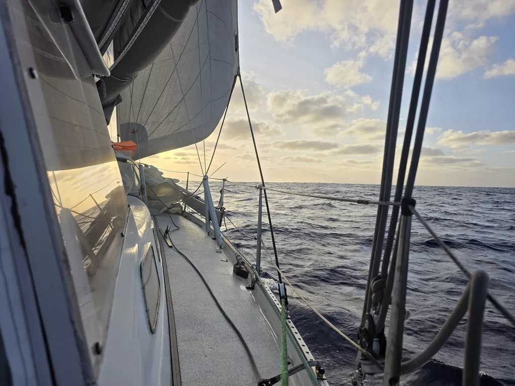
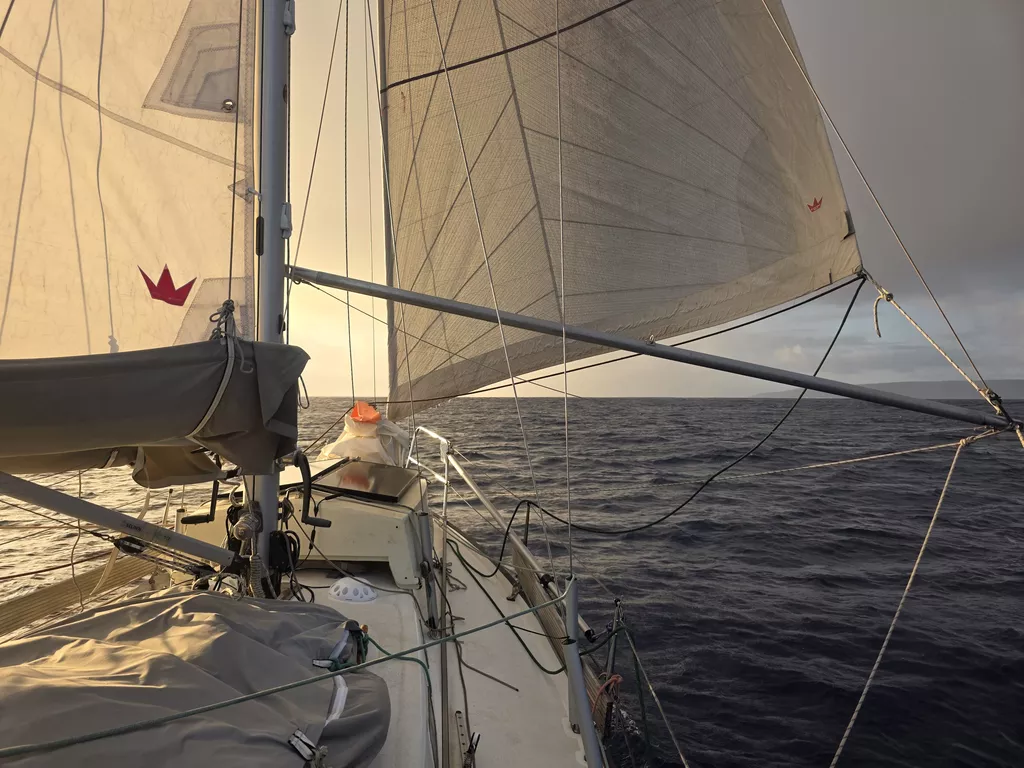
Before the sun set, we changed to starboard tack. At first it meant that we were going slightly too much north, but as per the forecast, the wind slowly backed towards north and we could point straight towards Aitutaki.

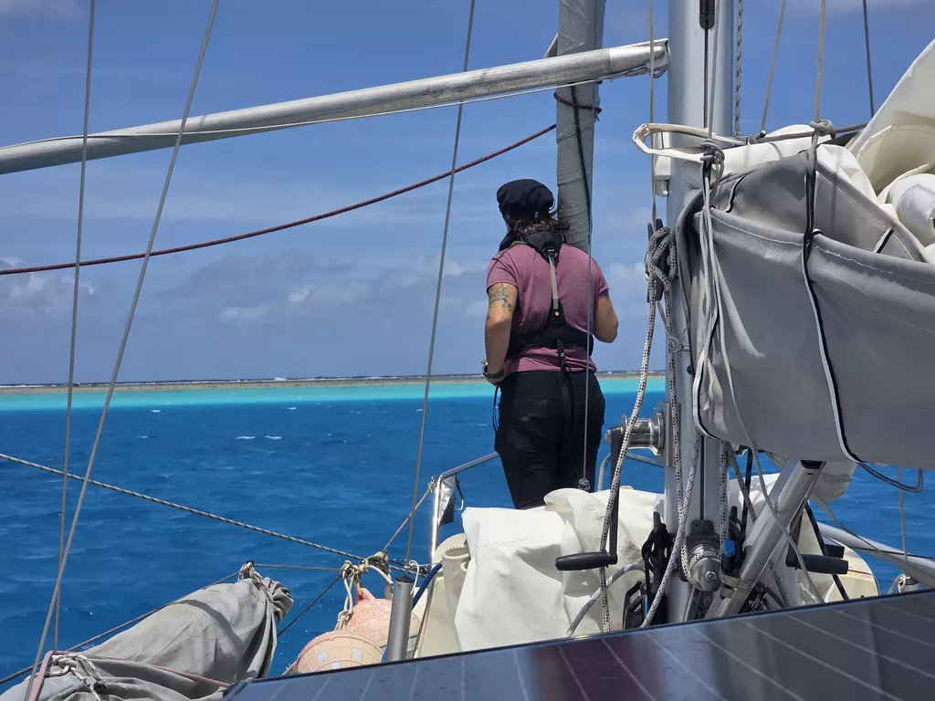
The Arutanga harbour is tiny and under construction, the comings and goings are organized through the Aitutaki Welcome Commitee WhatsApp group. As we were coming in, we checked the group and we were instructed to go and side tie to a catamaran. The pass to the harbour is an artificial one and shallow and narrow. We got in without an issue and even our first harbour manouver since Shelter Bay in Panama went without issues! Now we need to clear biosecurity, health check, customs and immigration.

- Distance today: 105NM
- Lunch: fish&chips
- Engine hours: 0.5
-
Sunday, August 16, 2026 18°38'S 158°4'W
Pacific Ocean, 431NM W of Hiumoo
The wind has eased throughout the day and we have been giving us more sail area bit by bit. We are still making excellent progress towards our destination. Watermaker ran the whole day in preparation for Aitutaki harbour as it is not advisable to run the watermaker there.

- Distance today: 130NM
- Lunch: Navy bean soup
- Engine hours: 0
-
Saturday, August 15, 2026 18°2'S 155°55'W
Pacific Ocean, 301NM W of Hiumoo
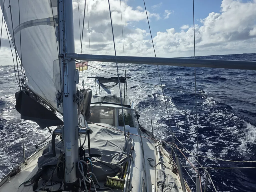
Wind did indeed come back. We entered the night with the main in the first reef, and by morning had switched to 2nd reef and staysail.
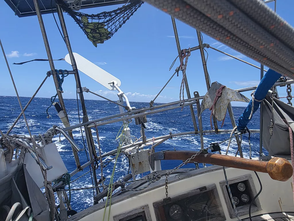
Seas have been somewhat lumpy and weather squally. But despite that we finished today with higher battery level than yesterday, thanks to the hydrogenerator.

Today has also seen a very slow motion chase scene, as a 14m sailboat has spent the last 20 hours slowly passing us and pulling ahead. Apart from that and a tanker going the other way there hasn’t been any traffic. A lot of boats took this weather window to Cook Islands, but most started from further north in Bora Bora.
- Distance today: 137NM
- Lunch: chanterelle risotto
- Engine hours: 0
-
Friday, August 14, 2026 17°26'S 153°39'W
Pacific Ocean, 164NM W of Hiumoo
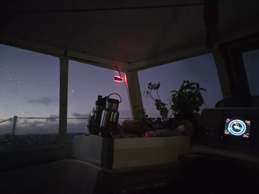
The wind quieted down for the night, meaning that we had to spend the dark hours with occasionally slatting sails and struggling windvane. But at least we had a good showing of shooting stars to accompany us.
It seems we truly left our sea legs into the smooth waters of the atolls. Suski is still working to adjust, and feeling the effects of the motion in the seastate.
By afternoon the wind was back, and we’re making good progress westward.

- Distance today: 110NM
- Lunch: spaghetti aglio e olio
- Engine hours: 0
-
Thursday, August 13, 2026 17°1'S 151°51'W
Pacific Ocean, 54NM W of Hiumoo
We hoisted anchor just before sunrise. Swell outside had settled a bit, and so it was finally time to leave French Polynesia behind.
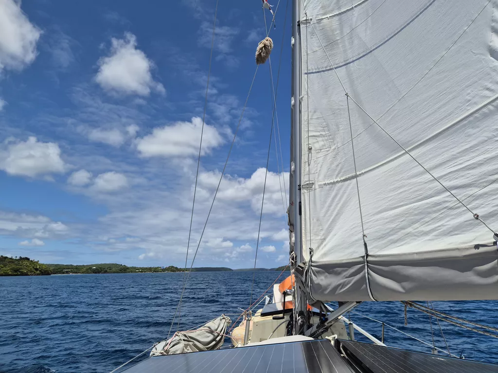
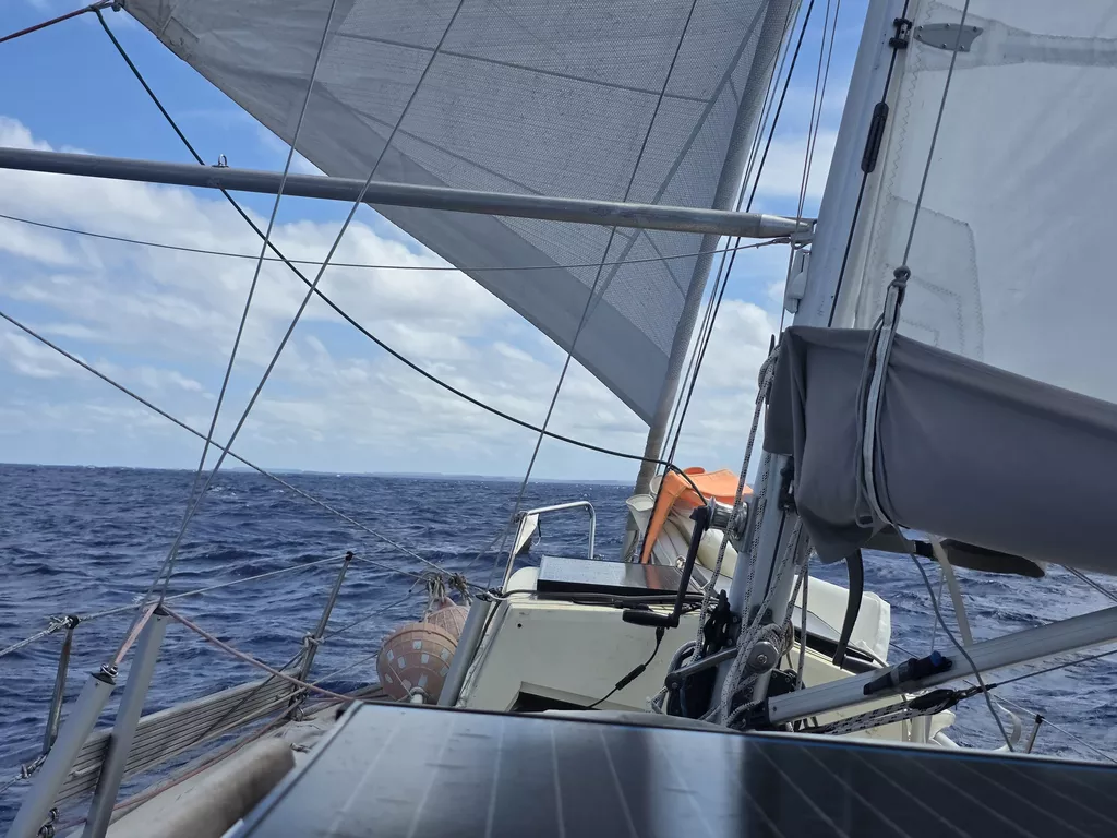
As soon as we rigged up the spinnaker pole, we realized this is the first downwind leg since probably the trip to Nuku Hiva!

Passing Ra’iātea, we were hailed by Tahiti JRCC. They were having trouble contacting a vessel, and wanted to do a radio check. We had a brief conversation and exchanged DSC messages successfully both ways. First DSC since radio exam back in Berlin!
- Distance today: 54NM
- Lunch: pea soup
- Engine hours: 0.9
-
Wednesday, August 12, 2026
Hiumoo
While we have been waiting for weather for the passage to Cook Islands, we’ve utilized the time building backup communication systems. Starlink changes their policies on August 17th, and it is possible it becomes prohibitively expensive for us.
And so now we have tools to publish blog posts and request GRIB weather data over both InReach satellite connection and amateur HF radio. This post is our first test using them. While at sea, photos will be of lower quality, and replaced with high res when we have faster internet again.

-
Friday, August 7, 2026 16°44'S 151°2'W
Pao Pao - Hiumoo
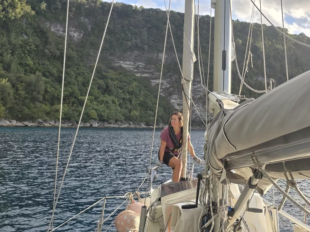
It was quite the workout to raise the anchor from 20 meters deep. But with both of us pulling we managed without our rope to the winch backup plan. Inside the bay we hoisted the mainsail and motored out. Just as we were in deeper water, a pod of humpback whales greeted us. What a majestic sight!

As the darkness fell, we changed to staysail and few hours later put in a reef to the main. The night was rainy and fast. The waves were tossing us around and neither of us got much sleep. In the dawn between the rainclouds the green peaks of Huahine became visible. That is also when the rain stole all of the wind and we turned on the engine. A while later, we motored through the pass and dropped anchor in a refreshing 5 meter depth!

- Distance today: 92.4NM
- Lunch: Coconut Lentil Curry
- Engine hours: 3.3
-
Sunday, August 2, 2026 17°30'S 149°49'W
Tahiti Airport Anchorage - Pao Pao Bay
Having done a ton of grocery shopping, it was time to leave industrial Tahiti behind. We knew our anchor was stuck on an old mooring, and so we chose a calm morning to detach. Luckily the mooring rope was long enough to reach the surface. We had friends ready to dive for us, but that wasn’t necessary.

After the anchor had been cleared, we radioed Papeete Port Control, and were told to again proceed to near the runway and hold position. A moment later an airplane took off and we were given clearance to cross.
The trip to Mo’orea was a quick motoring hop in zero winds. There was a relatively big swell, but that wasn’t a problem.
Now we’re anchored in the deep Pao Pao Bay (also known as Cook’s Bay), surrounded by impressive mountains reminiscent of Fatu Hiva. We have 85m of chain out! Since the battery was full, we tried our new induction stove for the first time in the cockpit.

- Distance today: 19.7NM
- Lunch: spaghetti bolognese
- Engine hours: 4.8
-
Saturday, July 25, 2026
Video postcard: Lille Ø from Tahanea to Tahiti
-
Friday, July 17, 2026 17°33'S 149°37'W
Tahiti Airport Anchorage, 233NM SW of Anse Amyot
After dinner we could slightly ease our course, trading some of our gained height for comfort. The night skies also cleared, and there was a huge shooting star streaming across the skies in the early hours.

Pretty soon afterwards we started getting some shelter from the island of Tahiti, making for a more comfortable going. Eventually wind also died, and in the morning we had to motor the remaining miles.
We hailed Papeete Port Control on VHF and were given permission to enter ahead of a fast ferry and a Korean fishing boat. Then we had to wait again for permission to cross the airport runway.

The airport anchorage is quite crowded, but we were lucky to find a good spot right behind Plan B. Since this anchorage is deep, we’re using the extra anchor chain we bought in Panama for the first time.
Next to Carrefour to see a proper grocery store for the first time since February!
- Distance today: 85NM
- Lunch: not yet
- Engine hours: 4
-
Thursday, July 16, 2026 17°7'S 148°16'W
Pacific Ocean, 148NM SW of Anse Amyot
Instead of the forecasted 20kn of wind, much of the night was hovering around 10kn. While this did hurt our day distance, it did make for smoother motion. As consequence, we both got pretty good sleep.
.jpg)
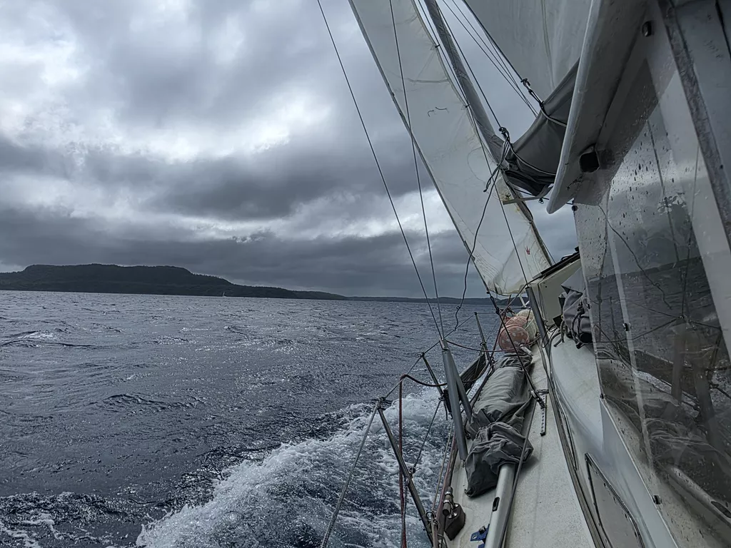
In the morning the wind picked up again, and we’ve been barreling through the big and now a bit splashy waves towards Tahiti. Skies have remained leaden, giving little solar output. At least the hydrogenerator helps some.
Point Venus 73NM, 253°.
- Distance today: 100NM
- Lunch: pea soup
- Engine hours: 0